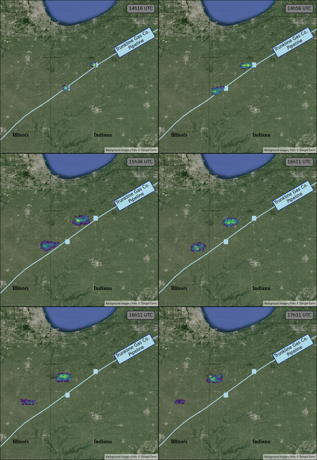
In a groundbreaking move, scientists have discovered a way to repurpose data from weather satellites to monitor methane leaks. This creative approach offers a new tool in the fight against climate change. Methane, a potent greenhouse gas, is a significant contributor to global warming. Locating and quantifying methane leaks from sources like oil and gas infrastructure has long been challenging.
Key Highlights:
- Scientists utilized data from weather satellites not intended for methane detection.
- The technique allowed for the identification of previously unknown methane leaks.
- Offers potential for monitoring methane emissions on a larger scale.
- Could aid in holding industries accountable for methane pollution.

The climate crisis demands innovative solutions, and scientists are stepping up with a surprising strategy. They’ve harnessed data from weather satellites, primarily designed to monitor atmospheric conditions, to create a methane leak detection system. This new approach can pinpoint large methane emissions and measure their intensity.
The research, recently published in a leading scientific journal, demonstrates that weather satellites can be more than just meteorological tools. By analyzing changes in how sunlight is absorbed as it passes through Earth’s atmosphere, scientists can isolate the telltale signature of methane. The technique has already uncovered previously unknown methane leaks around the world.
Implications for Climate Action
This development has significant implications for efforts to curb greenhouse gas emissions. Methane is far more potent than carbon dioxide in its ability to trap heat, greatly influencing short-term warming. Reducing methane leaks is a crucial step in addressing the climate crisis. The ability to monitor methane using weather satellites could give governments and environmental organizations a potent tool to hold industries responsible for excessive emissions.
Challenges and Limitations
While promising, this method has limitations. Weather satellites provide less precise location data than specialized methane-monitoring satellites, making it more difficult to pinpoint the exact source of a leak. Further refining the technique will be crucial for its widespread implementation.


